blah blah blah
Big Rock Cave
Length: 1.9 miles out-and-backDifficulty (click for info): Moderate
Elevation Gain: 910 feet (+300 on return)
Rating (click for info): 6/10
Driving Directions:
Trailhead and parking area are on Rt. 113A in Tamworth, NH (summit is in Albany). Rt. 113A is a loop road, and the trailhead is located on the north side of the road, 7.1 miles from the junction with 113 in North Sandwich and 6.2 miles from the junction with 113 in Tamworth. If approaching from the west (North Sandwich) direction, look for the trailhead 0.4 miles after the sharp right turn (readily noticed on maps). Park on the side of road immediately after a bridge over the Wonalancet River. Click here for a Google map.
About the Hike:
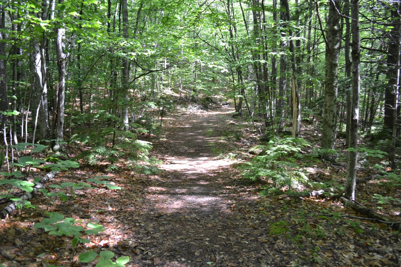
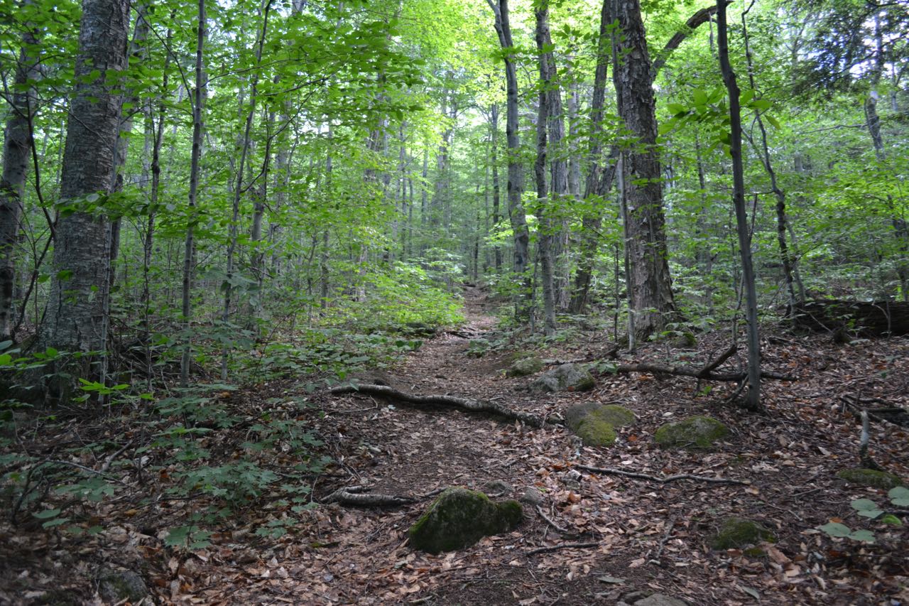
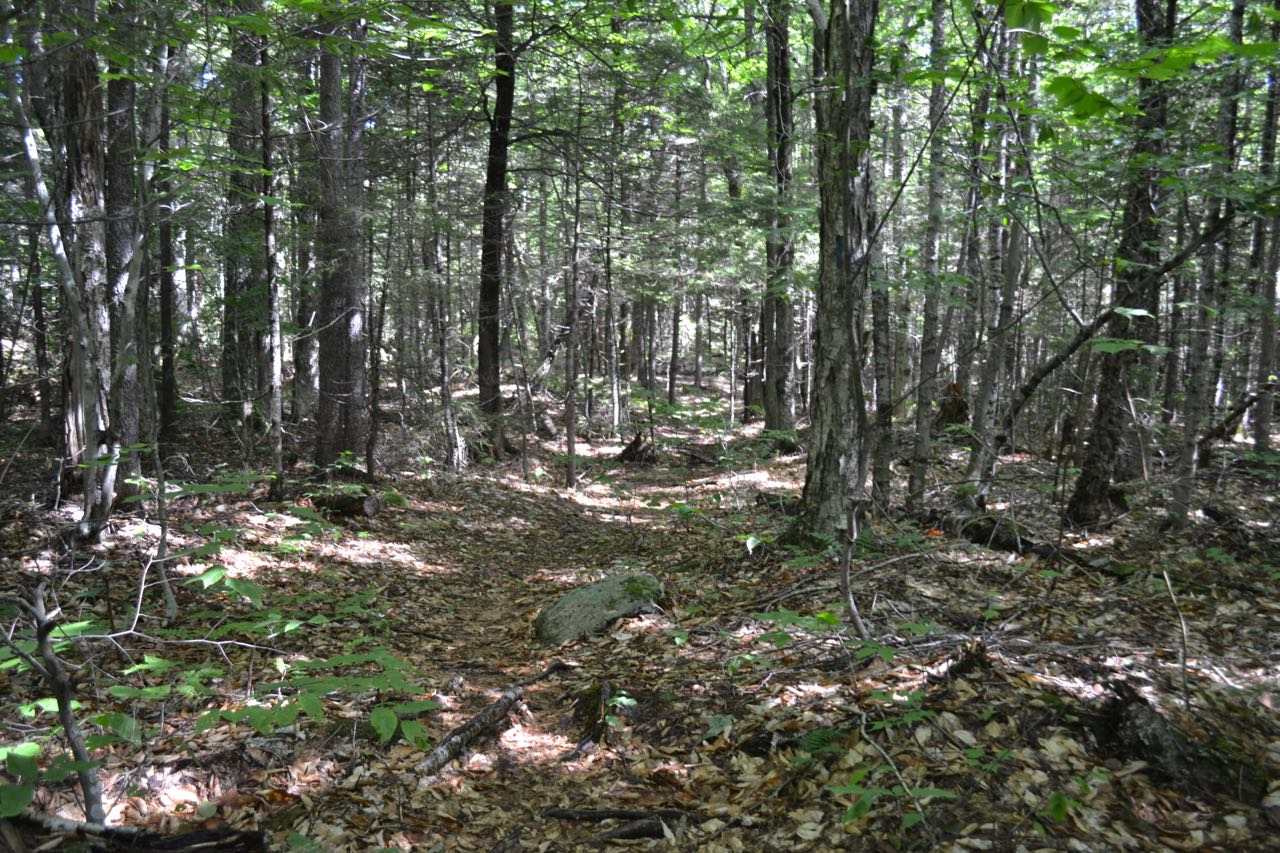
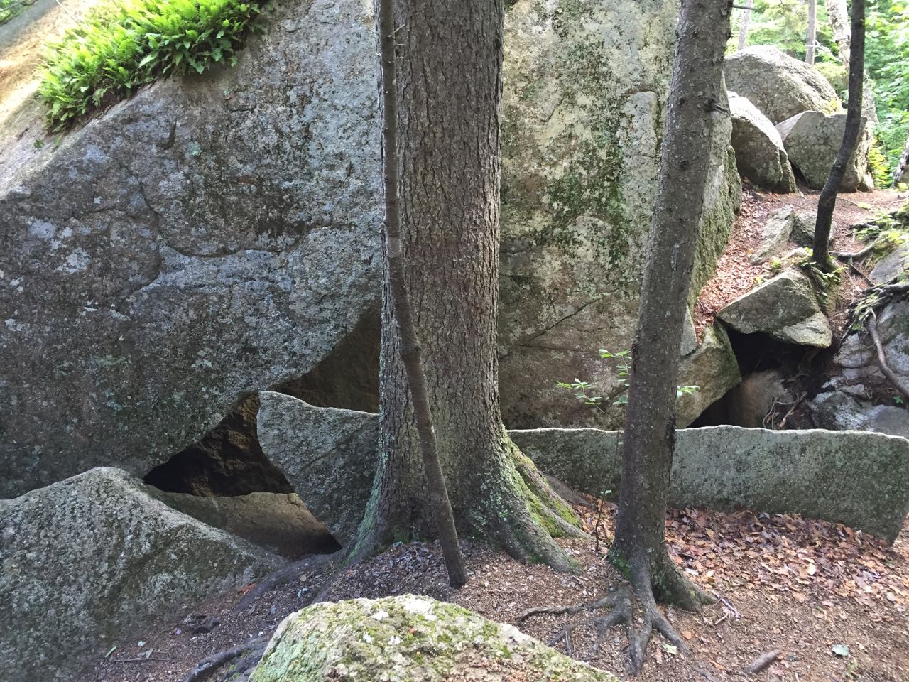
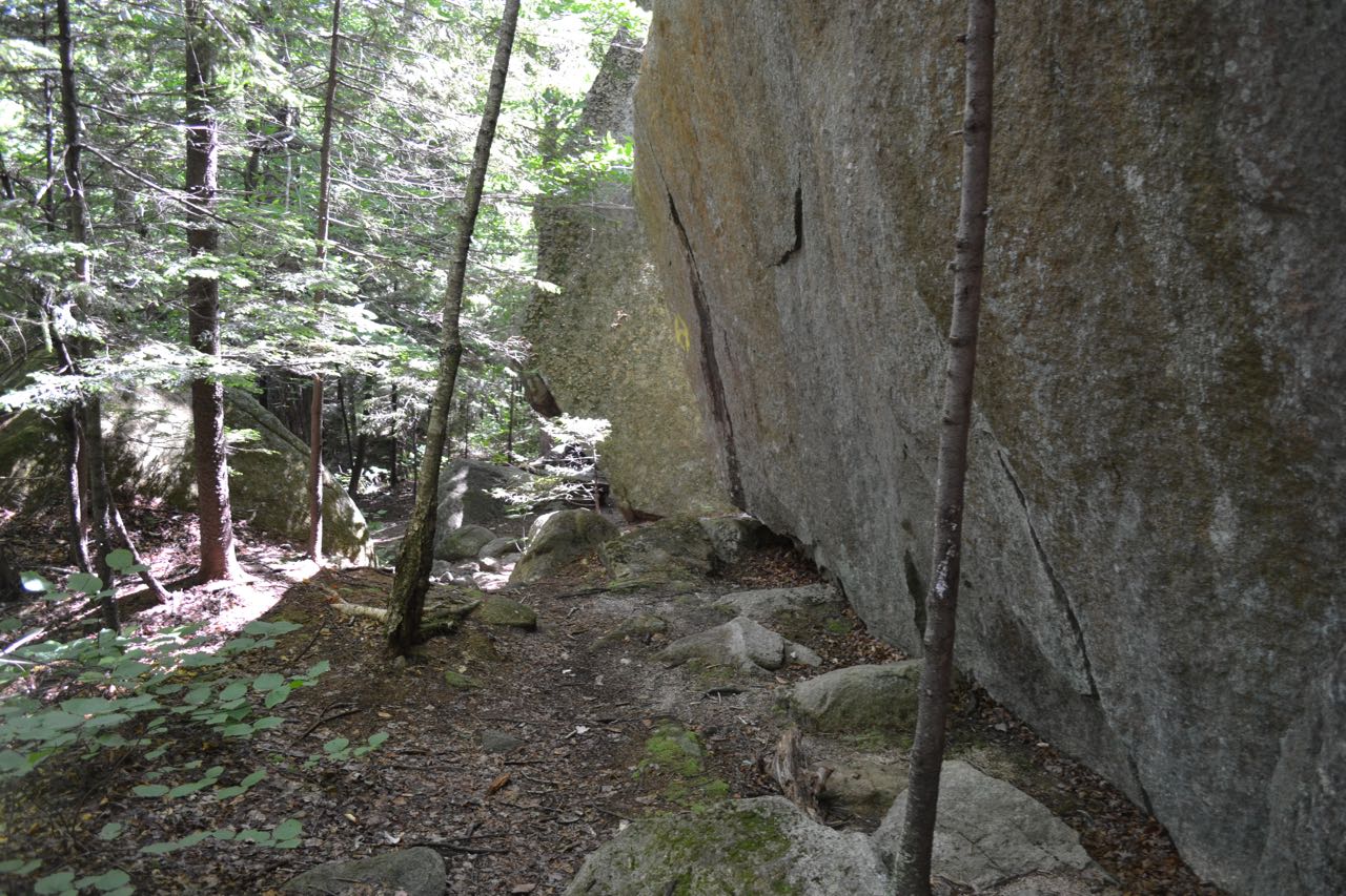
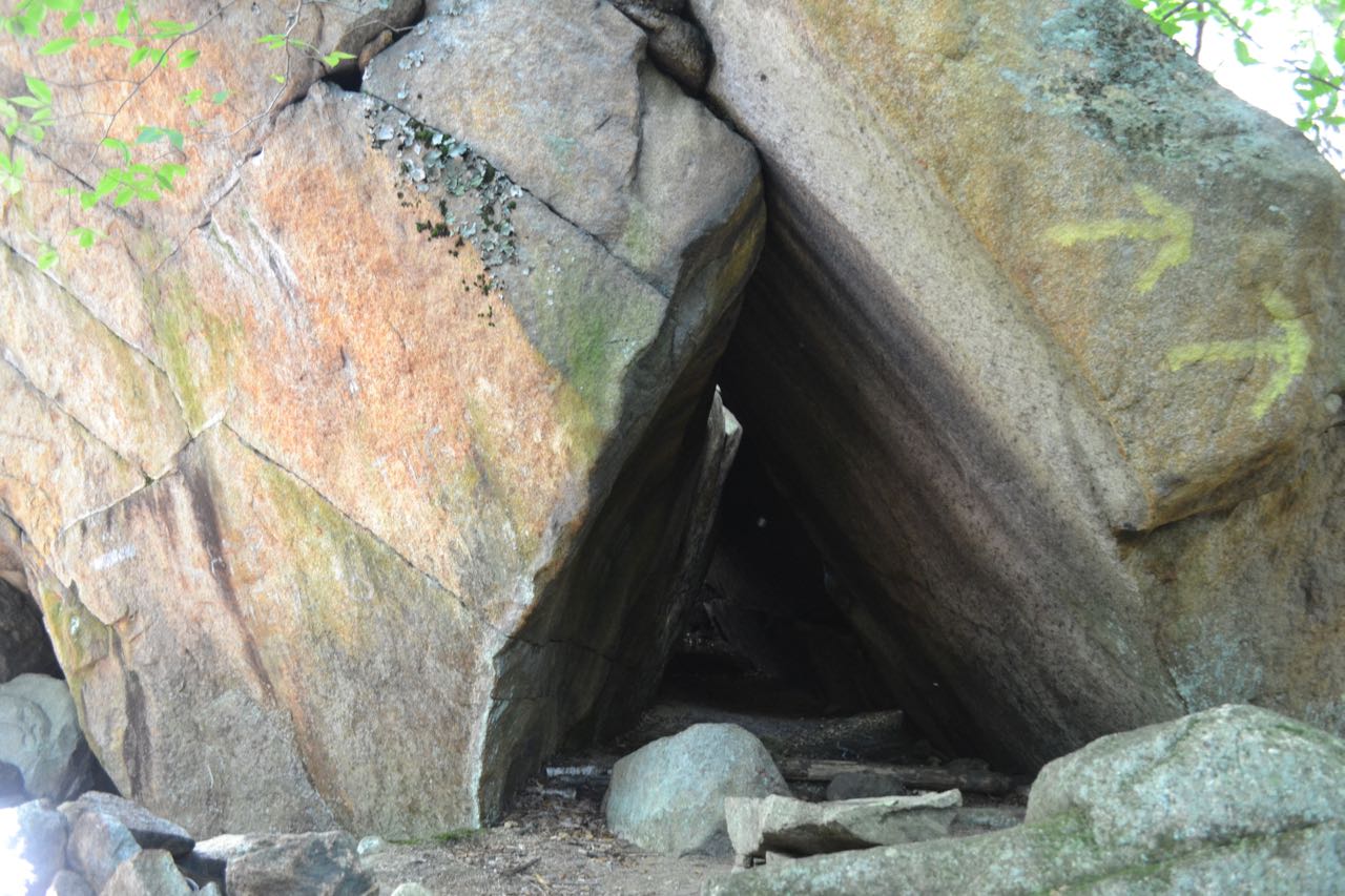
Big Rock Cave, located in the valley of Whitin Brook between Mt. Mexico and Mt. Paugus, is an interesting natural feature formed by huge boulders. Its presence in the forest is an awesome sight, and it offers adventurers the opportunity to walk all the way through its completely above-ground "cave". To access it, you must first climb over Mt. Mexico (a shorter route with easier grades uses the Whitin Brook Trail from Paugus Road, but this route is less used and may have difficult brook crossings - consult other guides). From the road, head into the woods on the wide dirt path of Cabin Trail. Follow the signs as the trail uses private roads, first bearing right, then left in the first 0.1 miles. Continue 0.2 miles to a fork, where Big Rock Cave Trail goes right. Bear right and follow this trail as it climbs Mt. Mexico starting at easy grades on a wide old road. Eventually the trail steepens and narrows. There is not much to be seen on the direct ascent. Near the end of the climb, you will enter the Sandwich Range Wilderness. You will reach the top of Mt. Mexico, a very insignificant bump at the end of a ridge coming down from the west ridge of Mt. Paugus, in 1.1 miles from the fork. The most difficult section of the trail is encountered beyond here. First, the trail descends gradually, but then it steepens considerably. After descending half a mile and 320 feet, you will reach the top of Big Rock Cave. The trail continues down, running alongside a large rock wall, to reach the bottom of the cave. Here, you observe the distinctive triangular opening beneath the massive rocks. You can easily walk around the boulders to see all sides, and you can also walk through the cave to the top.
Printable directions page